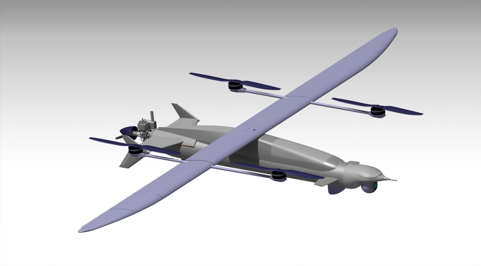
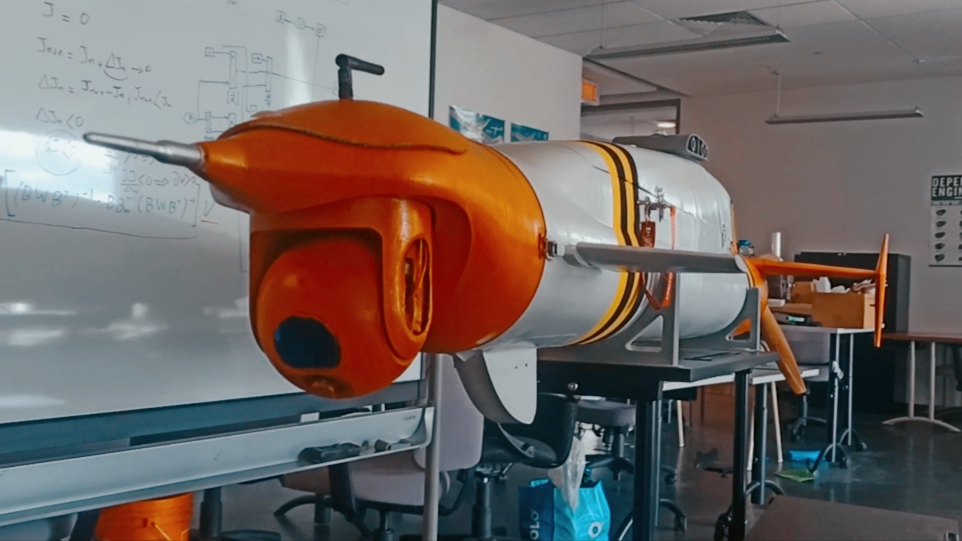
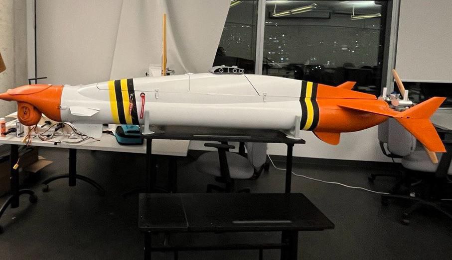
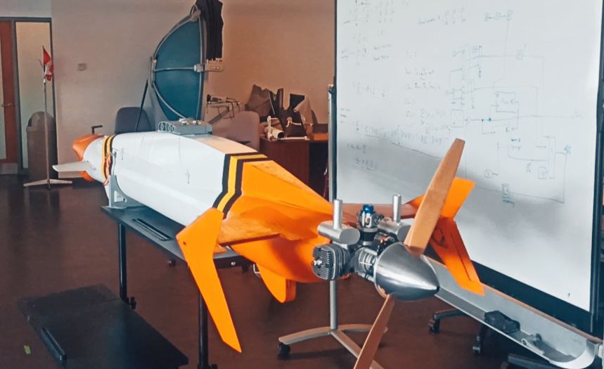
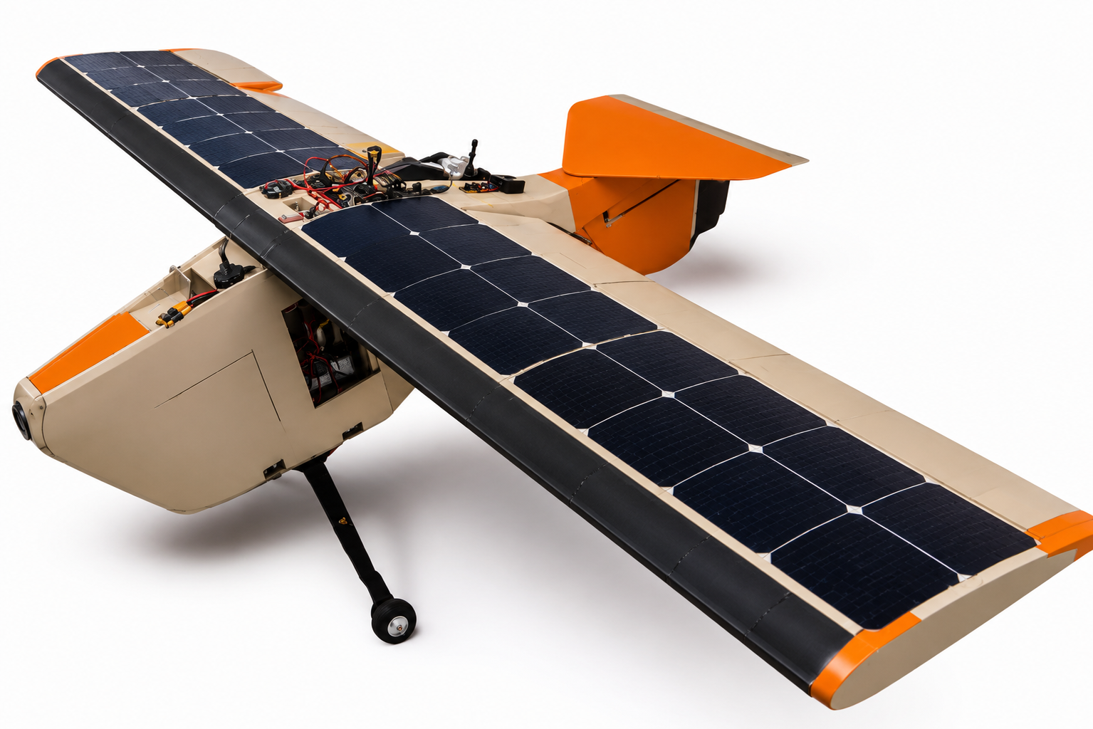
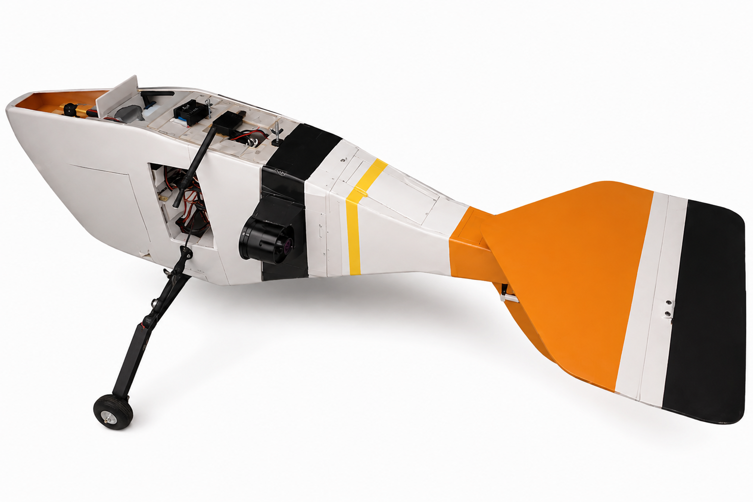
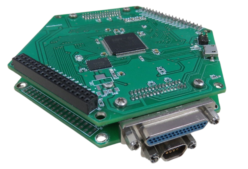
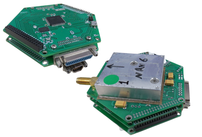
GeoPilot is a high-performance flight controller designed for professional UAV operations. With advanced navigation, sensor fusion, and autonomous flight capabilities, it is particularly well suited for aerial mapping and surveying missions, delivering the precision, reliability, and stability required for high-accuracy geospatial data collection.